
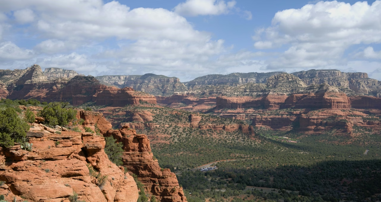
Doe Mountain Trail
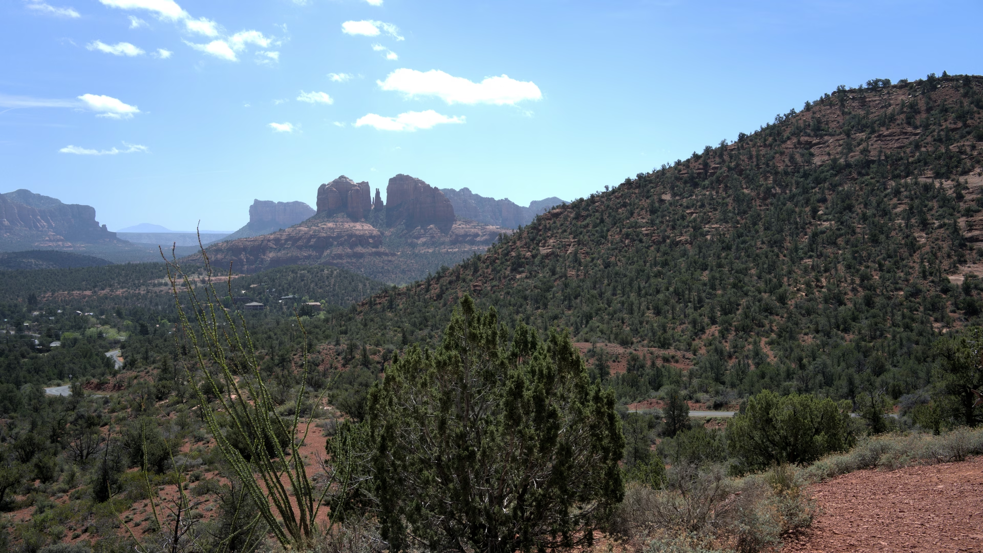
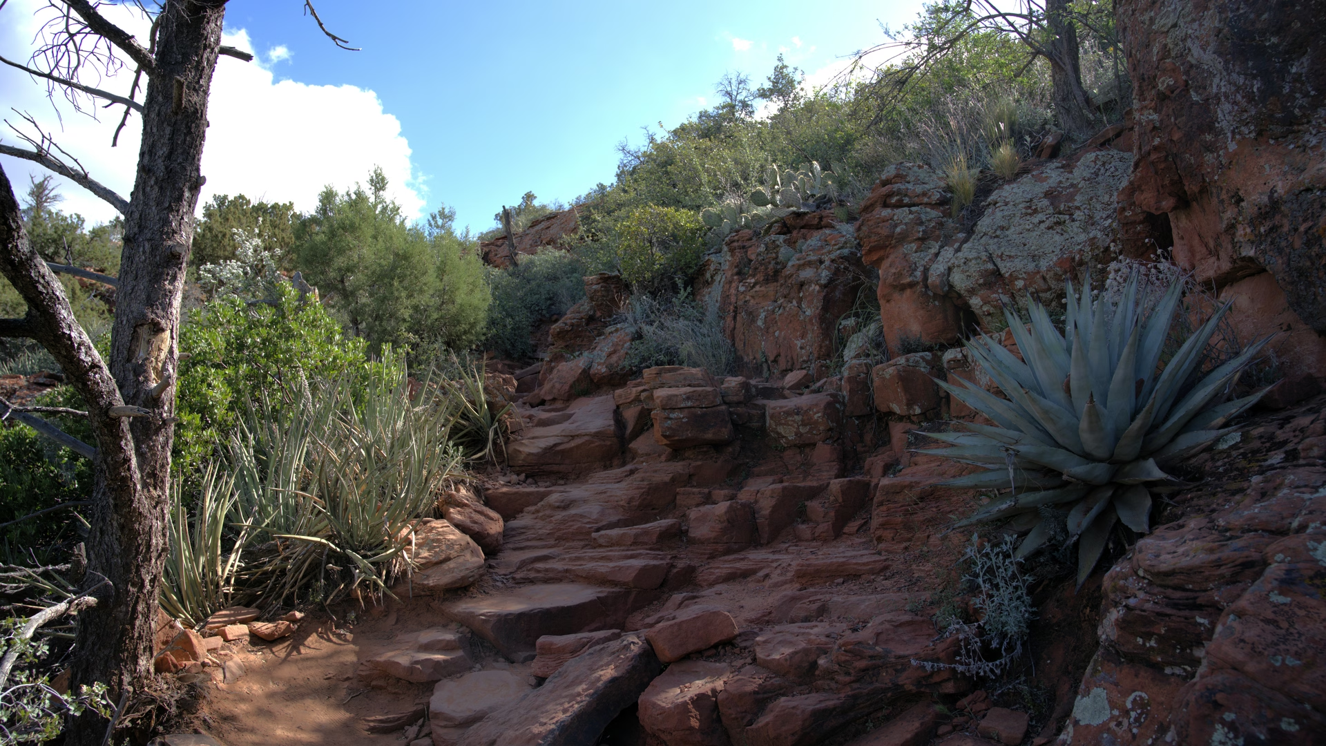
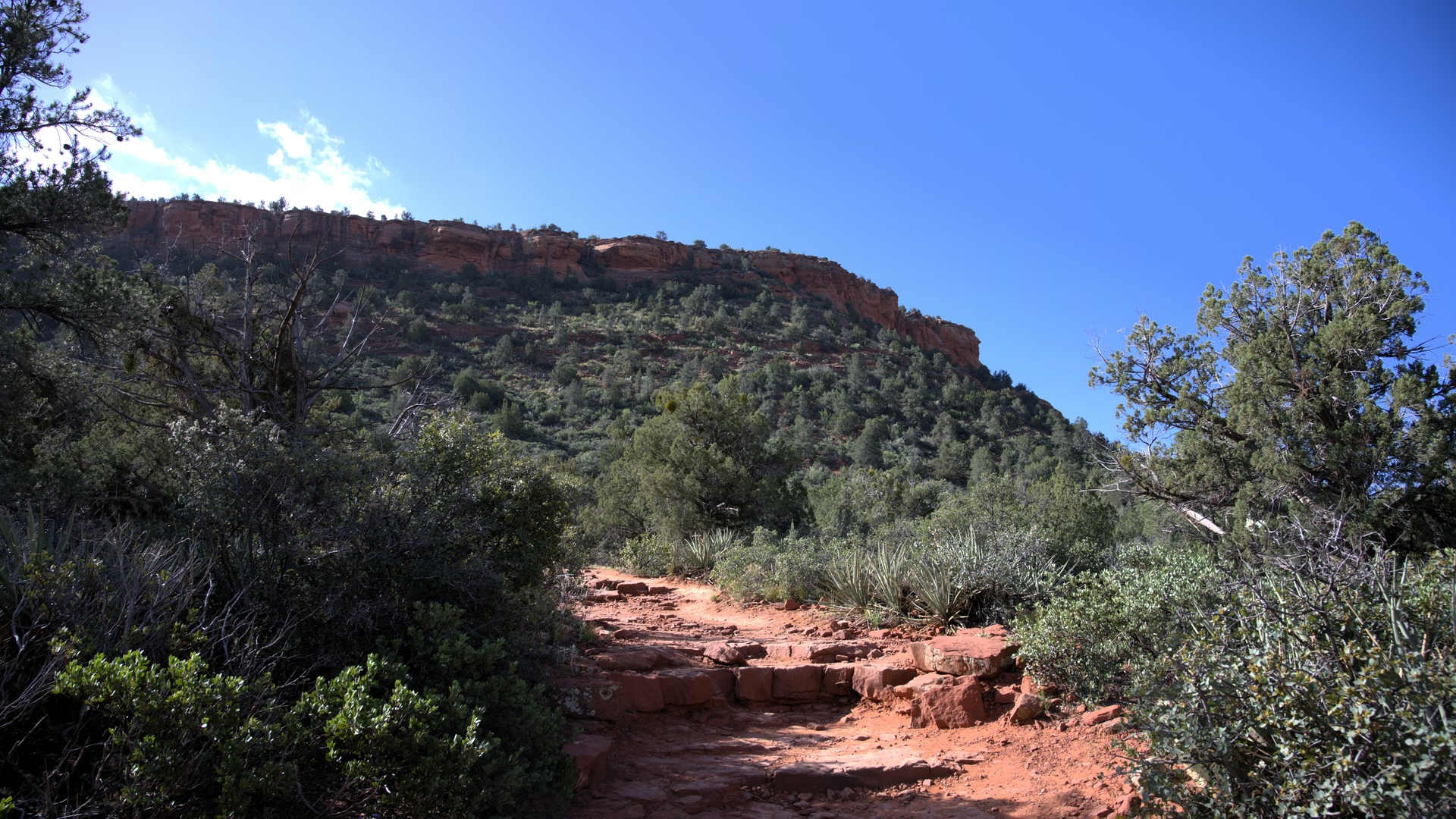
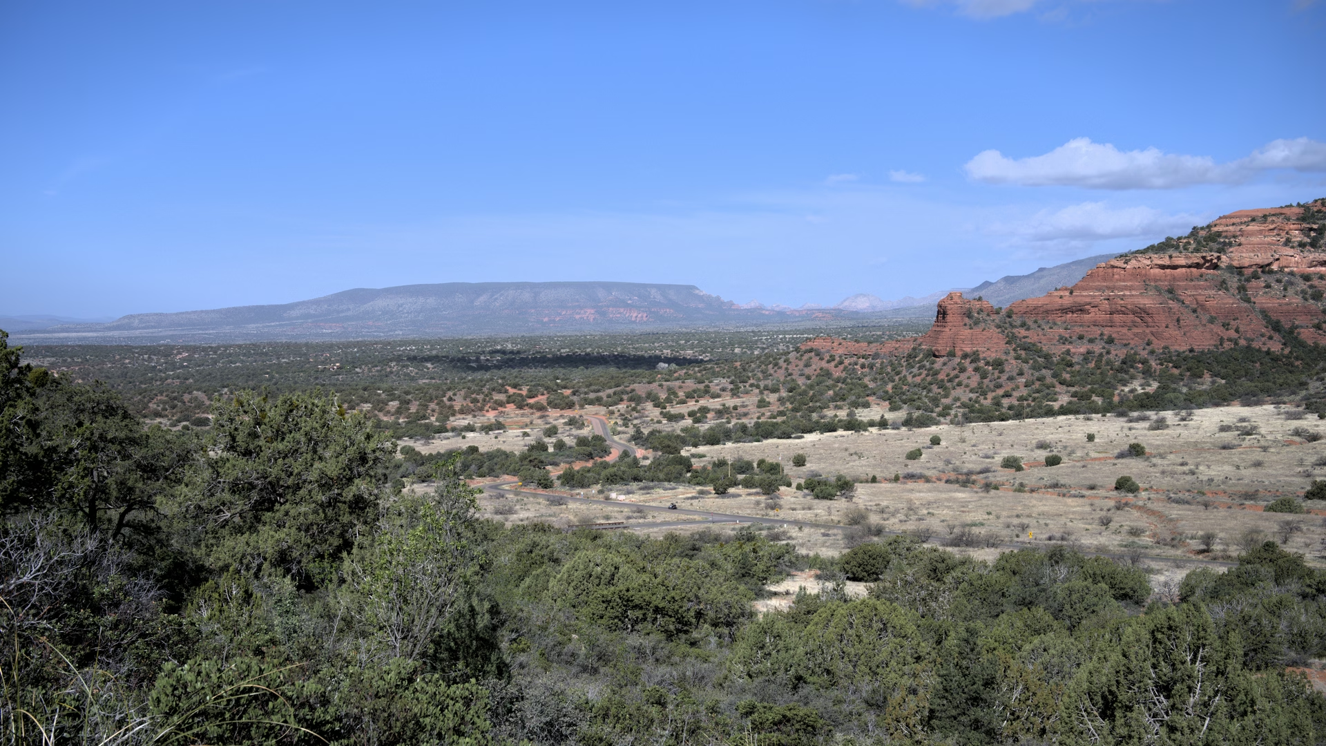
Short but steep switchback climb to the flat top of a volcanic mesa west of Sedona, delivering a near-360-degree panorama of Boynton Canyon, the Cockscomb, and the red-rock country. About 1.2 miles round trip with a few rocky scrambles near the rim and exposed edges up top; a favorite for sunrise and sunset.
34°53'36.4"N 111°51'53.8"W (AZ, Yavapai County)
Unique
Verified
A Few Hours
Categories
Nature
Topography
Peak
Wilderness