
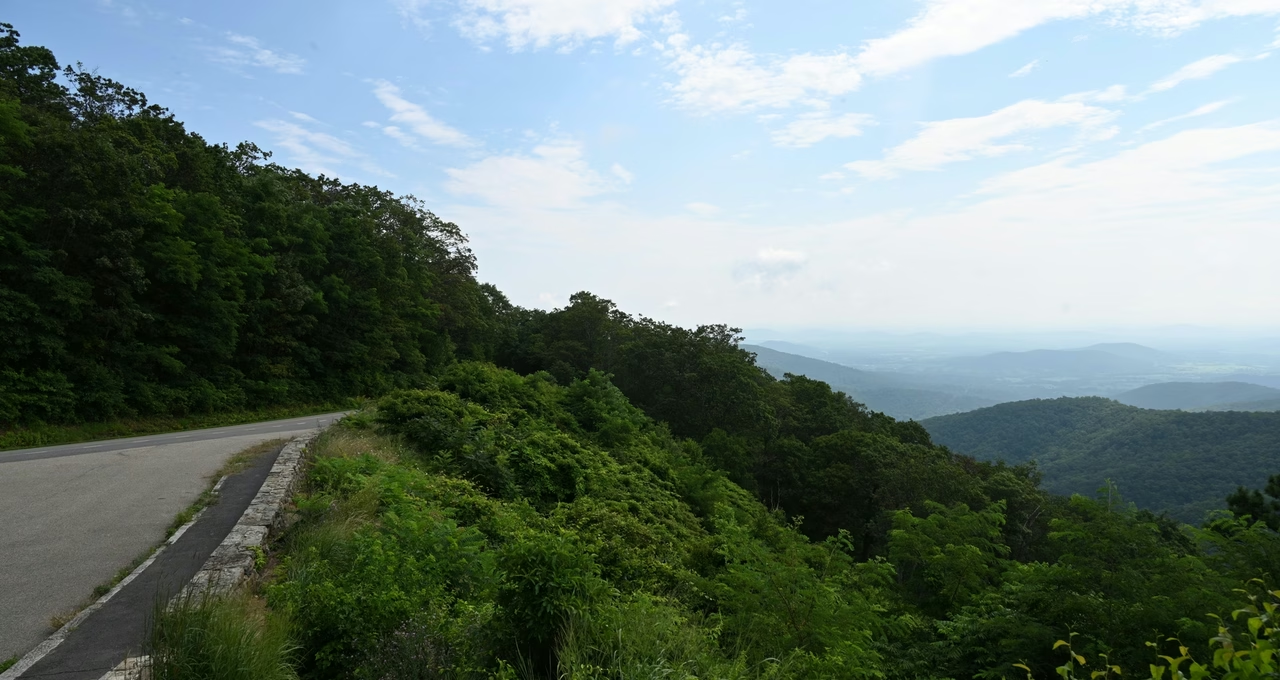
Skyline Drive
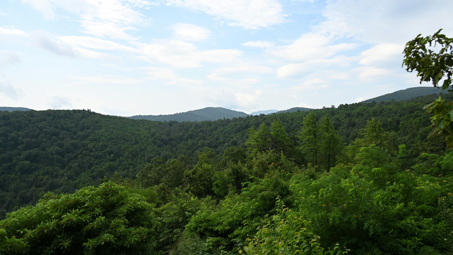
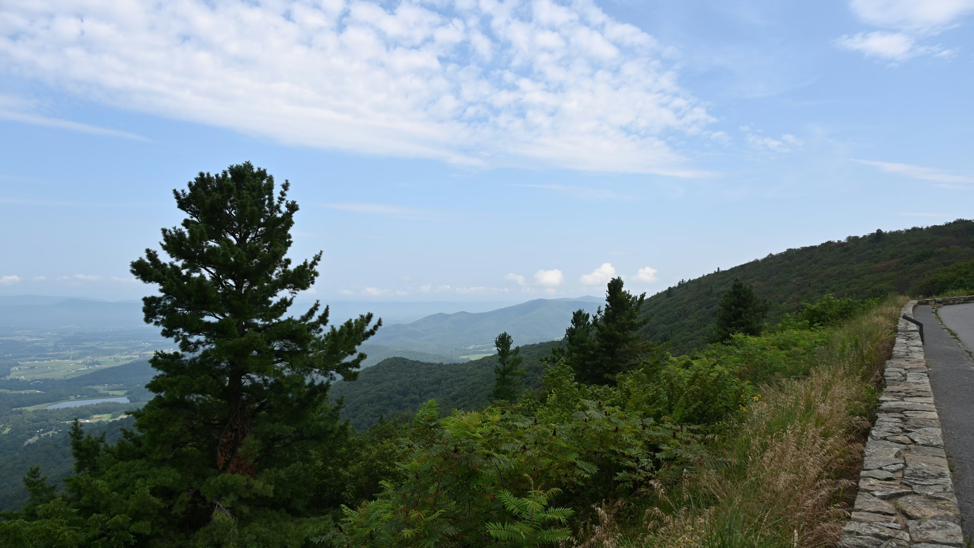
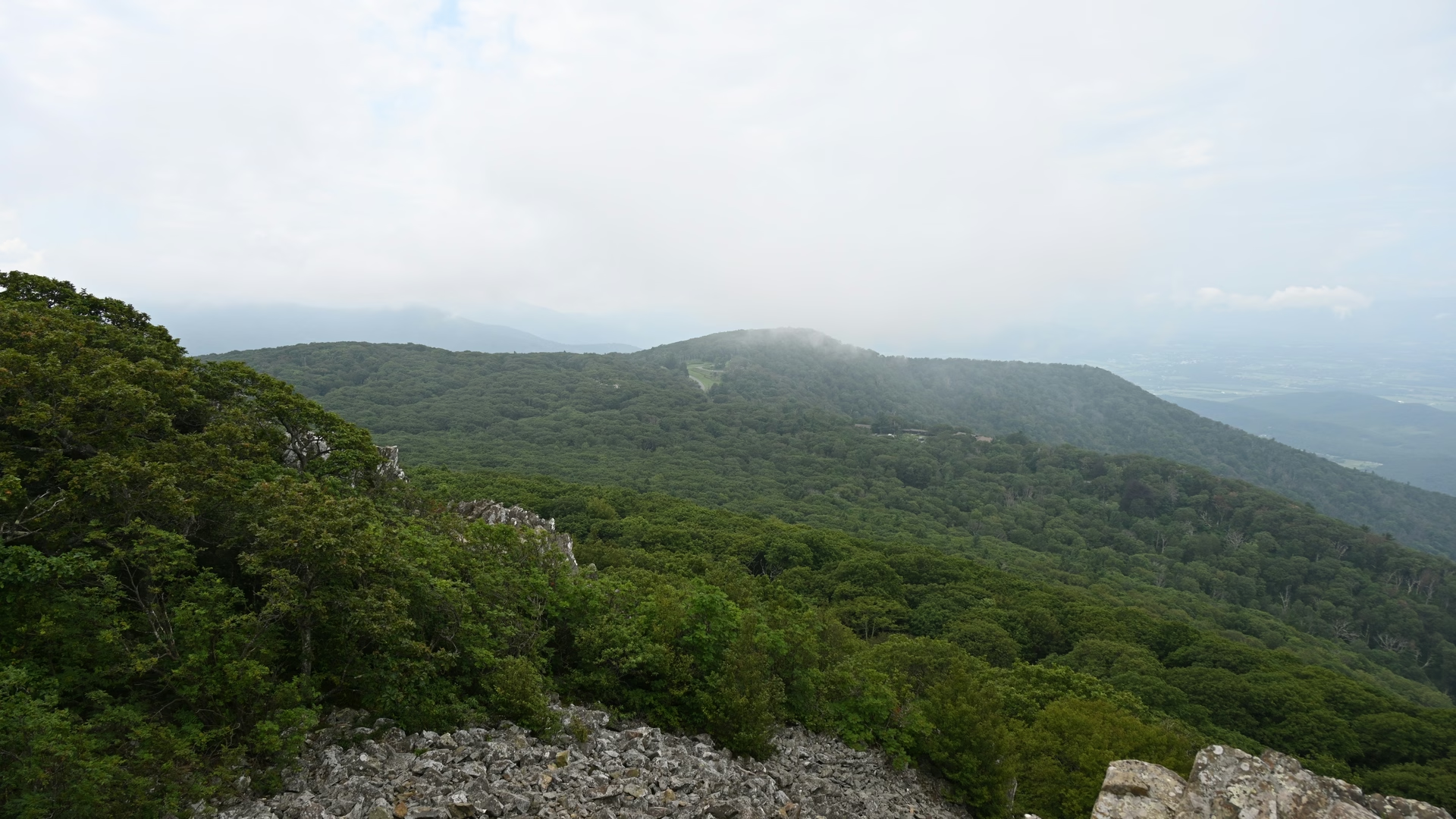
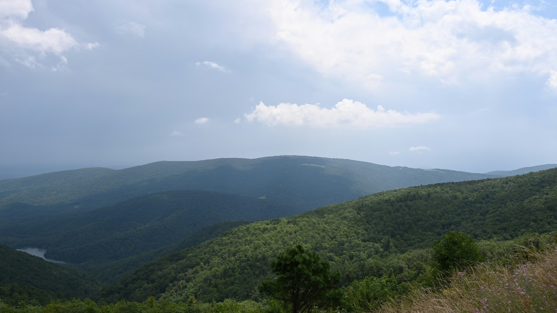
The 175 km spine of Shenandoah National Park, running the full length of the park close to the Blue Ridge crest and, for much of the way, close to the county lines that follow it. Roughly 75 designated overlooks are spaced along the route, alternating between eastward views over the flat Piedmont and westward views across the Shenandoah Valley to the Ridge and Valley ranges beyond.
Built as a Depression-era public works project and now designated both a National Historic Landmark and a National Scenic Byway, the road carries over two million visitors a year. Commercial traffic is banned outright — it exists purely for sightseeing, which is why the pace is unhurried and the pull-offs are generous. The speed limit is 35 mph (56 km/h) for the entire length, and it takes about three hours to drive end to end without stopping, which nobody does.
Practical
Four entrances: Front Royal (north), Thornton Gap (US-211, the access point from Luray), Swift Run Gap (US-33), and Rockfish Gap (south, at the start of the Blue Ridge Parkway). Mileposts run north to south from 0 to 105. Fuel is available only at Big Meadows.
Categories